Navigating Indian roads can be a challenging experience. From congested city streets to rural bylanes and unmarked highways, having the right navigation app is essential for both daily commuters and long-distance travelers. Among the top contenders are Google Maps, the global mapping giant, and Mappls (formerly MapmyIndia), India’s own homegrown navigation solution.
Find Google Maps vs Mappls across multiple factors including accuracy, features, traffic updates, offline capabilities, safety, and more to help you decide which app is the best fit for Indian roads.
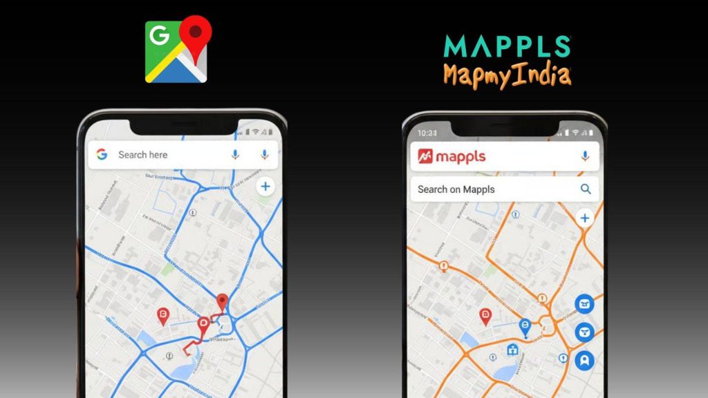
Overview of Google Maps and Mappls
Google Maps: Launched globally in 2005, Google Maps has become one of the most widely used navigation apps worldwide. It offers turn-by-turn directions, traffic predictions, real-time route updates, street views, and points of interest (POI) such as restaurants, hospitals, and ATMs.
In India, Google Maps benefits from a massive user base that constantly provides location feedback, ensuring maps and traffic data remain relatively up-to-date in metro areas and highways. The integration with Google Search, Gmail, and other Google services enhances the overall user experience, making it a one-stop app for navigation and discovery.
Mappls (formerly MapmyIndia): Mappls is India’s indigenous navigation solution, designed specifically for Indian roads and drivers. Unlike Google Maps, Mappls prioritizes local accuracy over global coverage. It provides detailed mapping of rural areas, small towns, highways, and industrial zones.
Mappls includes features such as offline navigation, toll and petrol price calculators, alerts for police checkpoints and road diversions, and India-specific points of interest. For users who frequently travel outside major cities, Mappls provides unmatched reliability.
Takeaway: Google Maps focuses on urban convenience and global usability, while Mappls specializes in India-specific mapping and features tailored to local travel needs.
Coverage and Accuracy on Indian Roads
Coverage and map accuracy are critical, especially in a country like India with rapid urbanization and a mix of urban and rural infrastructure.
- Google Maps: Offers excellent coverage in cities like Delhi, Mumbai, Bengaluru, and Hyderabad. It continuously updates roads using satellite imagery and user contributions. However, in newly developed towns, villages, and minor streets, maps can occasionally be inaccurate or outdated.
- Mappls: Provides extensive coverage for smaller towns, rural areas, and lesser-known roads. Its mapping data is highly detailed, often including narrow lanes, industrial areas, and rural highways that Google Maps may miss. Lane-level guidance, distance measurement tools, and India-specific points of interest enhance navigation precision.
Example: Travelers in Rajasthan or Odisha’s rural towns may find Mappls guiding them through small village lanes where Google Maps may fail.
Verdict: Mappls leads in rural and semi-urban coverage, while Google Maps remains strong in metro and highway navigation.
User Interface and Experience
Navigation apps must balance features with ease of use.
- Google Maps: Features a clean, intuitive interface that is easy to navigate even for beginners. Real-time rerouting, lane guidance, and color-coded traffic conditions make travel planning straightforward. Voice navigation in multiple Indian languages (Hindi, Tamil, Telugu, Bengali, Kannada, etc.) adds accessibility for non-English users.
- Mappls: While slightly busier, the interface includes India-focused tools such as toll calculation, petrol stations, parking availability, emergency services, and terrain maps. For professionals like delivery drivers, logistics operators, and long-distance travelers, these features are invaluable.
Summary: Google Maps is user-friendly and ideal for urban users, whereas Mappls is feature-rich for Indian-specific navigation needs.
Real-Time Traffic Updates
Traffic is a major factor in Indian cities, often determining the efficiency of any commute.
- Google Maps: Uses crowdsourced data from millions of users to provide real-time traffic conditions, congestion alerts, and automatic rerouting. Integration with public transport in metro cities allows combined navigation involving walking, buses, or metro travel. Traffic predictions are usually accurate in major cities and highways.
- Mappls: Leverages government and local data for real-time traffic updates, often providing more accurate alerts in semi-urban and rural areas. It informs users about traffic jams, diversions, and accident-prone zones, which is essential for long-distance drivers and rural travelers.
Example: During festive seasons or regional events, Mappls often offers better local alerts for road closures and diversions, while Google Maps performs best in urban areas.
Offline Navigation Capabilities
In India, network connectivity remains inconsistent in many regions, making offline navigation essential.
- Google Maps: Allows users to download specific areas for offline use. While effective for city travel, offline maps do not include real-time traffic data and may miss newly constructed roads.
- Mappls: Offers extensive offline navigation for both highways and rural areas. Users can access turn-by-turn directions, points of interest, and distances offline, making it ideal for long trips through regions with poor connectivity.
Recommendation: Mappls is better suited for offline navigation in India, while Google Maps works efficiently in cities with stable connectivity.
India-Specific Features
Indian roads come with unique challenges like tolls, petrol availability, parking, and local safety regulations.
Google Maps: Provides points of interest, parking information, and integration with ride-sharing apps like Uber and Ola. Its global approach ensures a consistent experience in urban areas worldwide.
Mappls: Offers India-specific features like toll cost calculators, real-time petrol prices, alerts for accident-prone stretches, police checkpoints, and industrial area mapping. Truckers, delivery drivers, and long-distance travelers benefit from these hyperlocal features.
Insight: Mappls stands out for India-specific features, while Google Maps provides a universal, city-focused experience.
Safety and Alerts
Safety is a growing concern for drivers in India.
- Google Maps: Provides alerts for accidents, speed cameras, slow traffic zones, and allows sharing your location with friends and family.
- Mappls: Includes India-specific safety alerts like police checkpoints, road diversions, accident-prone stretches, and hazard warnings. These features make Mappls particularly useful for night travel or driving in rural regions.
Verdict: Both apps enhance safety, but Mappls provides more localized and practical alerts for Indian users.
Pricing and Subscriptions
Cost and premium features play a key role for both everyday users and professionals.
- Google Maps: Completely free for personal use, with premium enterprise features for businesses. Daily commuters can access all essential features without paying anything.
- Mappls: Offers a free version with robust functionality. Premium subscriptions unlock advanced routing, larger offline maps, and professional-grade navigation tools, making it ideal for logistics, delivery, and fleet management.
Recommendation: Google Maps suffices for personal use, while Mappls premium is valuable for professionals and frequent travelers.
User Reviews and Popularity in India
- Urban commuters generally prefer Google Maps for simplicity, quick rerouting, and integration with Google services.
- Semi-urban and rural users favor Mappls due to its local accuracy, offline navigation, and India-specific features.
- Truck drivers, delivery services, and long-distance travelers particularly rely on Mappls for lane-level navigation, toll cost updates, and industrial area mapping.
User preference depends on travel patterns; both apps complement each other depending on whether you are urban-focused or rural/travel-focused.
Verdict: Who Comes Out Ahead?
When comparing Google Maps vs Mappls:
- Google Maps: Excels in metro cities, urban navigation, and international usability. Its real-time traffic updates, intuitive interface, and seamless integration with Google’s ecosystem make it a go-to for city travel.
- Mappls: Dominates rural areas, highways, and India-specific requirements. Offline navigation, toll and petrol cost calculators, lane-level mapping, and localized alerts make it essential for long-distance or rural travel.
Expert Tip: For the best experience, use both apps strategically. Google Maps for city traffic and Mappls for rural, long-distance, or India-specific travel needs.
Using both apps in tandem ensures that whether you’re commuting in a city or traveling across remote highways, you’re always on the right path.